DC 295 & I-295 Corridor Improvements Study
DC 295 & I-295 Corridor Improvements Study
PROJECT OVERVIEW
The District Department of Transportation (DDOT) is exploring methods to bridge the gaps between neighborhoods divided by transportation infrastructure along the Route 295 Corridor. This initiative aims to lay the groundwork for upcoming construction endeavors aimed at easing the challenges posed by the Corridor. These efforts include enhancing safety and accessibility, facilitating various transportation modes for daily commuting needs, and integrating recreational and park areas into the community fabric. We strongly believe that funding from the Infrastructure Law will help improve the condition of our infrastructure not only in these communities but across the city.
To learn more about the DC-295 & I-295 Safety and Geometric Improvements Study, visit: https://dc295-i-295-corridor-improvements-study-dcgis.hub.arcgis.com/.
PROJECT BACKGROUND
The 1950s construction of Route 295 (DC 295)/Interstate 295 (I-295) Corridor resulted in a community barrier contributing to a legacy of inequity in many neighborhoods throughout Wards 7 and 8 within the District of Columbia. The Corridor contains vital roadway and rail links that separate economically disadvantaged communities. There is an urgent need to provide solutions that enhance accessibility, mobility, and safety.
PURPOSE
The ultimate goal of the project is to identify and propose projects that can be evaluated and prioritized based on their ability to address connecting communities and equity while upholding DDOT transportation priorities.
The Overall Study Purpose for the corridor is to;
- Perform a planning level corridor study
- Identify potential Safety and Geometric Improvements
- Identify potential multimodal transportation infrastructure projects
- Identify strategies and projects that would reconnect neighborhoods in Wards 7 & 8
- Promote safe, healthy, inclusive, vibrant, and equitable communities
VISION
Redesign the DC 295/I-295 Corridor to reconnect communities isolated by the highway and adjacent railroads, including neighborhoods like River Terrace, Parkside, Mayfair, Eastland Gardens, and Kenilworth. This investment could potentially take the form of an at grade “complete street” or undergrounding the highway and bridge or tunnel for rail and Metrorail tracks. Ultimately the study will identify opportunities for infrastructure improvements that will promote equality and sustainability by increasing mobility and providing multimodal transportation options to communities that are majority Black and have high percentages of low-income residents.
Existing Conditions
The existing transportation facilities along the Corridor pose a unique problem within this area of the District because they each divide the community in ways that hamper economic development within the neighborhoods:
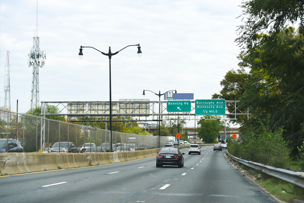
- DC 295/I-295 is one of the most vital roadway links in the District. It is a four- to six-lane expressway with many substandard design features and is missing interchange on- and off-ramps, resulting in unsafe conditions and recurring congestion at multiple locations along the Corridor.
- The CSX Corporation (CSX) Rail Line is part of a critical freight rail corridor running along the east coast. The rail line creates a physical barrier within the Corridor from a point approximately 0.7 mile southwest of the Whitney Young Memorial Bridge (originally called East Capital Street Bridge), where it crosses the Anacostia River, to the Maryland border in the northeast.
- The Metrorail Orange Line is part of the Washington Metropolitan Area Transit Authority (WMATA) Metrorail system, an essential transit option for District residents and commuters. It creates a physical barrier within the Corridor running parallel to DC 295 between Benning Road in the southwest and the Maryland border to the northeast.
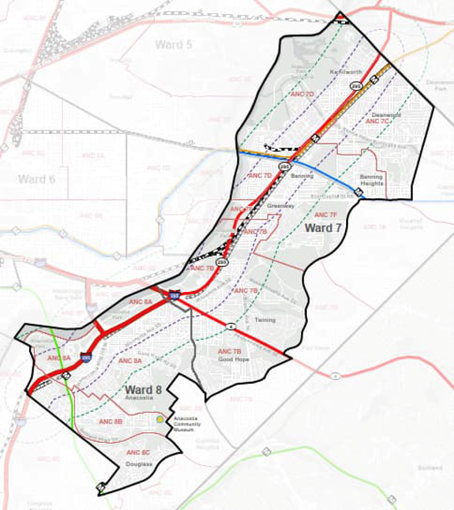
Developing and constructing projects near or within rail rights-of-way poses unique coordination and engineering issues that can limit the proposed concepts and will need to be considered. Below is a map of DC 295 & I-95 Corridor study area.
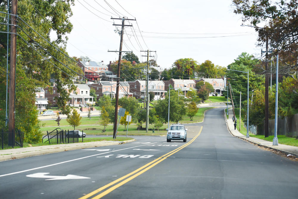
PHOTOS OF EXISTING CONDITIONS
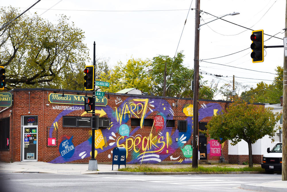 |
| Burroughs/Minnesota |
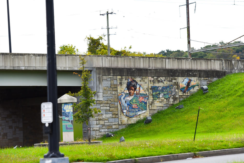 |
| Kenilwort/Minnesota |
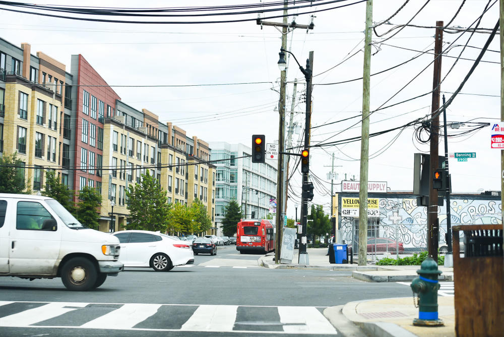 |
| I-295 |
 |
| I-295 |
 |
| I-295 |
PROJECT TIMELINE
The following public engagement meetings are designed to present project intent, frame study limits, and receive initial feedback from community members in Ward 7 and in Ward 8, respectively.
Below are our upcoming planning steps and milestones:
